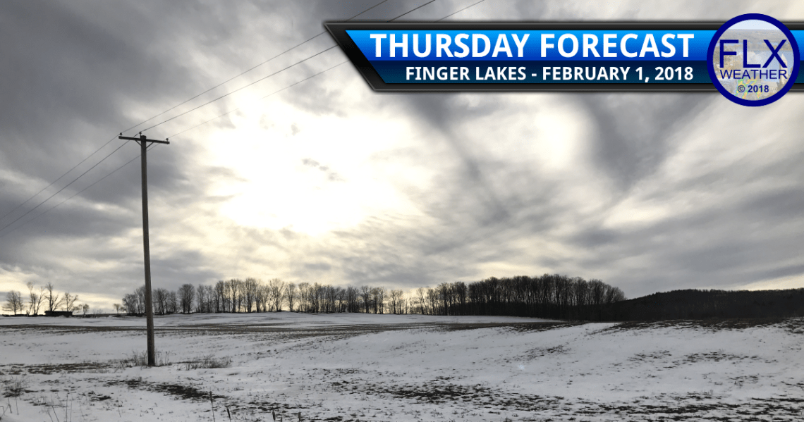
Surge of Warm Air Thursday
Warm air will surge north into the Finger Lakes Thursday but will be booted out of the region by the evening as a strong cold front marches across the region.
Temperatures are starting the day in the low and mid 30s as southwest winds pump warm air northeast ahead of the cold front.
That front is located over Michigan this morning and will slowly move east during the day today.
A few rain or snow showers will be scattered about ahead of the front. The radar will be showing more activity than what actually reaches the ground, though, and most of the day will end up dry.
High temperatures this afternoon will warm into the low and mid 40s.
Colder air will start to move into the northwestern Finger Lakes around dinner time with a quick drop through the 30s and into the 20s. This cold air will spread southeast across the remainder of the region over the course of the evening.
A squall line containing a burst of heavy precipitation and gusty winds may also try to develop along this front during the evening.
Current indications are that this squall will start to take shape over the eastern Finger Lakes, but will not fully materialize until it is east of the region. Still, areas from Cortland to Elmira should be on the lookout for a burst of snow around or after 7 pm tonight.
Cold & Snowy Friday
The temperature will continue to tumble overnight and into Friday morning. Temperatures at sunrise Friday will range from the mid single digits to the low teens.
Daytime warming will be very modest, with most areas only reaching the mid teens for high temperatures.
Strong winds will produce wind gusts of 30-40 mph throughout the day, sending wind chills slightly below zero.
The Lake Effect Snow Machine will also crank up, with a few strong bands of snow likely.
While most areas should see at least a little snow as the bands wobble around the region, the heaviest snow will fall across eastern Wayne, northern Cayuga, and Onondaga counties. Locally as much as six inches or more could fall, with a coating to an inch or two elsewhere.
Any snow that does fall will be blown around by the strong winds, causing poor visibility and travel conditions.
The lake effect will swing north out of the Finger Lakes before the sun rises Saturday as winds turn back towards the southwest.
Weekend Weather Gets Tricky
Saturday will be a much quieter and more tolerable day in the Finger Lakes.
Partial sunshine is likely with some high, thin clouds also expected. The clouds will likely get thicker later in the day.
Winds may still gust to 30 mph at times but will be from the southwest. Some warmer air will work in on those winds, resulting in highs reaching the mid and upper 20s.
Temperatures will hold steady or rise slightly Saturday night into Sunday as a small area of low pressure works through the Great Lakes and into Ontario, Canada.
Meanwhile, a second low will develop along the East Coast. The two systems will interact with each other, but how quickly and how strongly will have a large impact on our Super Bowl Sunday evening weather.
At this time, expect some light snow showers Sunday morning with some steadier snow possible Sunday afternoon and evening, especially for the eastern Finger Lakes.
This remains a highly uncertain forecast that will need more updates over the coming days.
January Statistics
January is in the books and it was another great month for FLX Weather.
Nearly 72,000 pagloads were recorded for a daily average of 2,321 pageloads.
This includes near 57,000 unique sessions and 16 days with at least 1,000 pageloads.
Nowhere else can you reach such a captive, local audience at affordable prices…while helping support a great service!
Advertising your business or organization on Finger Lakes Weather is a great business decision, especially with Facebook moving to severely limit your organic reach.
Contact me today for more information on an advertising package that suites your individual needs!

