


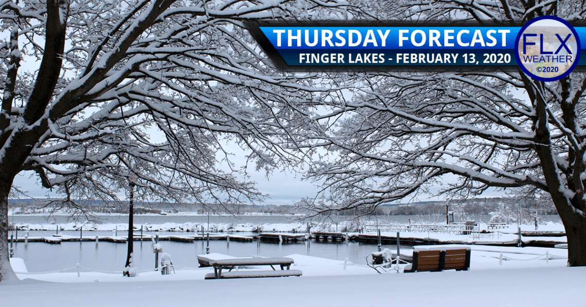
Cold Front
Snow from an area of low pressure to our southeast has mostly departed the region. Focus now turns to a cold front poised to our northwest.
Between these two systems, there will still be pockets of flurries or freezing drizzle through this morning and the first part of the afternoon. Any precipitation that falls will be light.
Temperatures will hold in the low 30s through the morning and much of the afternoon.
Snow will increase again this afternoon between 1-4 PM from the northwest. Most of this snow will be light, but a few moderate bursts may be embedded within the snow here and there. The snow should taper off for most of the area by about 7 PM with nothing more than a fresh inch or two.
Temperatures will fell this evening and lake effect flurries will take over. These snow showers will be possible anywhere in the region, but will be most prevalent along and north of I-90.
A few heavier squalls may develop over eastern Monroe, Ontario and Wayne counties. Lake snows will become less widespread overnight, but a band of fluffy snow will remain in the areas between Rochester and Ithaca through Friday morning.
A few localized areas could see another 3-6 inches of fluff overnight, but most of the region should see an inch or less.
By Friday morning, widespread temperatures in the single digits are expected. Only a slight rise is expected for the afternoon highs, with most areas between 10-15 degrees. Friday should end with some sunshine as high pressure builds in and clouds dissipate.
Clear skies, calm winds, and fresh snow will allow temperatures to rapidly drop Friday evening. Typically colder parts of the western Southern Tier and Central New York may drop below zero as early as 8 PM. These same areas could reach -10 by Saturday morning.
For the rest of the region, overnight temperatures will be between -5 and +5, with subzero temperatures most common across roughly the southern half of the region.

Weather for the Weekend & Beyond
The weather for the weekend looks quiet and uneventful as temperatures work back from the cold start.
Saturday will have sunshine early before thin clouds increase and filter some of the sunshine. South winds will kick in as high pressure presses to our east.
Afternoon highs Saturday should work back to the upper 20s and low 30s. Saturday night’s temperatures will only fall back into the mid and upper 20s.
Sunday will have clouds with a few glimpses of sunshine. A stray flurry or rain shower cannot be ruled out, but most areas will likely remain dry.
South winds will continue to pump warmer air back into the region. Sunday afternoon will end up 40-45 degrees warmer than Saturday morning as temperatures peak in the low and mid 40s.
On Monday, the south winds should dissipate. Temperatures will still reach the upper 30s and low 40s with a mix of sun and clouds.
Our next system rolls in on Tuesday with blustery winds and rain showers. Temperatures should be well into the 40s Tuesday afternoon. Some areas could even hit 50.
Gusty winds will continue Wednesday, this time with colder air behind an early morning cold front. Some lake effect snow showers will also be possible.
Local News from the Cortland Voice
[feedzy-rss feeds=”https://cortlandvoice.com/feed/” max=”1″ offset=”0″ feed_title=”no” refresh=”2_hours” sort=”date_desc” target=”_blank” meta=”date, time” summary=”yes” summarylength=”400″ http=”default” ]Invest in Your Local Business
Finger Lakes Weather offers prime advertising positions to local businesses to help fund its operations.
With tens-of-thousands of views monthly and over 177,000 views already in 2020, Finger Lakes Weather is a great option for getting known in the Finger Lakes while simultaneously helping a good cause.
Long-term advertisers, very small businesses, and non-profit organizations enjoy discounts to make advertising even more affordable.
There are no complicated algorithms to crack or confusing behind-the-scenes auctions. The process is simple, too. Just send along your ad image, or have an ad created for you. The ad can then be linked to your website, Facebook page, or wherever you’d like. Images can be changed as often as you like, too.
Advertising on Finger Lakes Weather is a winning proposal for everyone. Your business gets guaranteed local exposure. The Finger Lakes continues to get reliable, accurate weather information. FLX Weather gets the financial support it needs to continue and grow.
Fill out the form in the green box for more information!
Langburn
Thanks for the 4:30 update, Drew! Any idea what hour that squall will hit southern Cayuga? Would like to avoid driving through it!
,
langburn
Will you have a late afternoon update, Drew? And… has the NWS Advisory disappeared? Thanks so much!
Meteorologist Drew Montreuil
I am hoping to have another update, but not 100% certain about it happening at this point. Yes, the NWS has cancelled the advisories early.